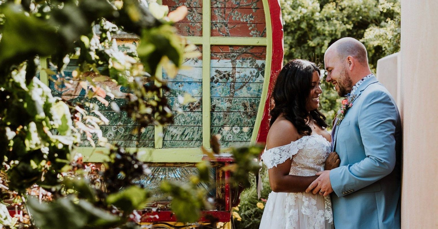
Nestled in gorgeous countryside but still easy to find!
Finding Us
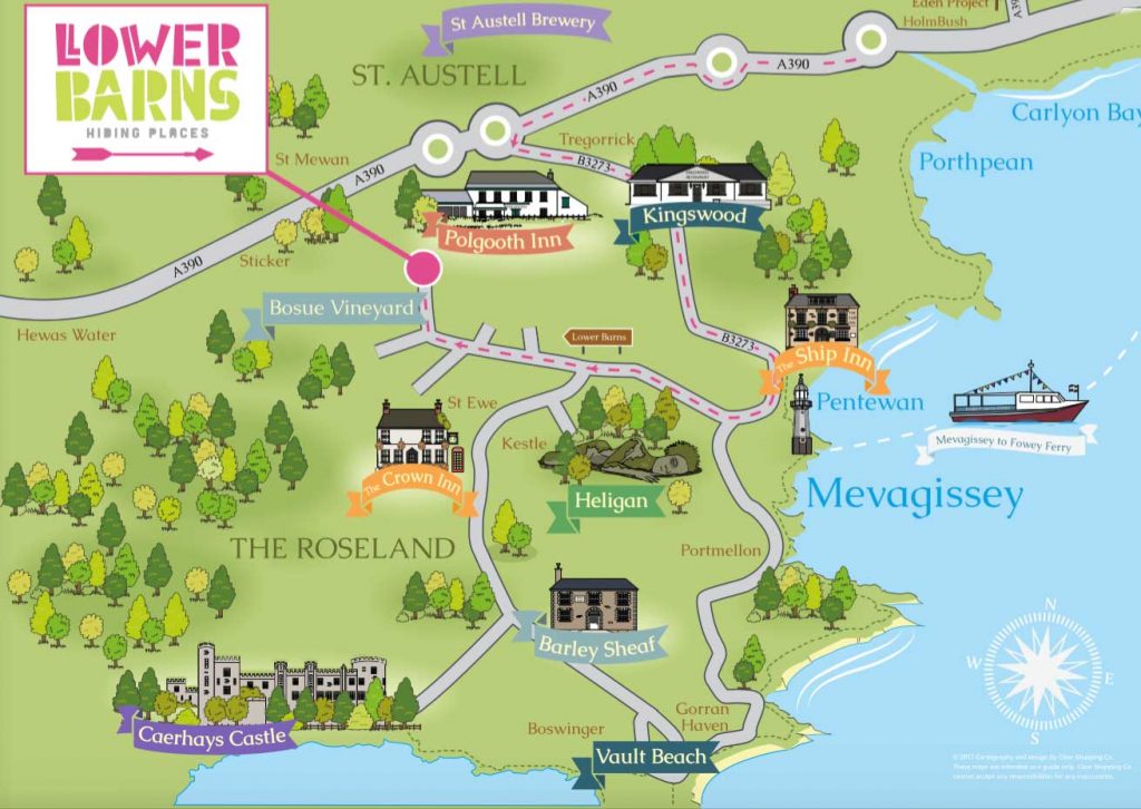
If you’re planning to visit Lower Barns or spend your special day with us, the great news for you and your guests is that we’re easy to find. That said, we know how sat navs can be sometimes so we’ve provided you with a map of our location and some directions to follow.
Directions
The Specifics of getting here
Use the A30 trunk road to enter Cornwall.
After Bodmin, turn left onto A391 – signposted St Austell.
Follow the A391 to St Austell.
The A391 joins the A390 at the bottom of a long hill.
Turn right at the traffic lights.
Continue on A390, turn left at the double round about onto B3273 – signposted Mevagissey.
After 4 miles, you will pass Pentewan beach on your left, continue to the top of the hill and turn right at the crossroads.
Follow this road for 1.5 miles, passing Heligan Woods Campsite (on left) and shortly after there is a sharp left hand bend, go slowly you need to turn right here, signpost (brown) for Lower Barn.
Follow the Lower Barn brown road signs for 1 mile.
Turn right at brown road sign for Lower Barn and follow our drive for 1/4 mile and find Lower Barns on your left.
Satnav PL26 6EU will take you to a farm gate, go past this gate on your left, and continue for 100 yards then see brown tourist sign for Lower Barn on left.
Bosue is marked on the OS map (explore 105) at grid 984478, north of the minor road between Grampound and Heligan.
what3words // intricate.savers.fonts